When you’re starting your digital wayfinding journey, it’s helpful to know the distinctions in terminology as you begin conversations with various vendors. One of the most common misconceptions we see is around the distinction between ‘wayfinding’ and ‘Blue Dot,’ and it’s important to differentiate as it can impact the type of technology you actually need.
So, what is the difference between ‘wayfinding’ and ‘Blue Dot?’
Wayfinding is the process by which people navigate through a space, to find their way from one location to another. In the context of a smart building, this usually means inside or between buildings to particular rooms or amenities. This can be done with landmark-based text directions, or directional cues built into a space or communicated via digital signage.
Using a robust indoor mapping platform’s CMS like Inpixon's, you can use the Software Development Kit (SDK) to build a wayfinding solution that allows users to search for amenities and other points of interest, and provide turn by turn directions to and from fixed points within a building.
So, then what is Blue Dot?
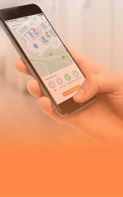
If we think about wayfinding as an action, the Blue Dot can be considered a means of enabling the action - a wayfinding method. Blue Dot is the type of navigation we’re arguably the most accustomed to in the outside world, where our GPS positions us relative to a map of the world, with a little blue dot that follows us around and provides real-time location and navigation cues for us as we move.
Blue Dot indoor navigation is essentially recreating this experience indoors using Indoor Positioning System technology (IPS). To make Blue Dot navigation work indoors, you leverage your indoor maps and an IPS system together, which exist within your app thanks to the SDKs. Regardless of what kind of wayfinding you are employing, the map is your foundational level. This is because if you have IPS in place and a blue dot displaying on a device, without the actual indoor map, you’re just a blue dot on a screen.
Depending on the kind of wayfinding use case you’re trying to address in your space, the technology you actually need will differ. This is really important to clarify when you’re assessing vendors and costs, because if you can accomplish your wayfinding needs without a Blue Dot, you may save yourself a lot of money on your implementation.
If your users are using stationary kiosks or other digital signage to navigate within your building, you can designate different routes based on your business rules within the CMS.
For example, you’ll want to designate accessibility routes, emergency exits for accessibility compliance, building safety codes, and exceptional user experiences.
You can also add QR codes to the kiosk display to enable users to send their turn-by-turn wayfinding cues to their personal device to provide a mobile wayfinding experience. To do this, you don’t need to invest in any sort of Real-Time Location System (RTLS) hardware, you just need a very robust indoor mapping platform with wayfinding features.
However, if your users are navigating to a location within a building using their mobile phone, with a continually reorienting path, or are perhaps navigating towards a mobile asset like an IV pump in a hospital, this is when you’ll want to incorporate IPS. These are the situations you probably thought of when we were covering the definition of Blue Dot earlier - this idea of bringing the outdoor navigation experience indoors. With RTLS technology, users are able to see their own location in real-time relative to the inside of the facility.
In order to achieve the Blue Dot, we’ve mentioned that you’ll need an Indoor Positioning System. What does that mean? IPS is basically GPS for the indoors. It’s a technology that allows users to accurately pinpoint/visualize the location of people or assets inside of buildings using smart phones/mobile devices or other sensors. Here are some of the best systems for achieving the Blue Dot indoors. Essentially, using a variety of internal smartphone sensors, IPS technology detects and tracks data about a device’s location. This location data is ingested by the positioning system generating accurate coordinates which are then displayed on the indoor map.
There is a world of indoor intelligent wayfinding opportunity at hand, regardless of the type of navigation you’re aiming to enable. Across all industries, buildings benefit from becoming more navigable, and indoor maps are key to making spaces smarter. If you’re ready to embark on your wayfinding journey, whether it needs an IPS or not, the first step is to make sure you have dynamic layer based maps.


